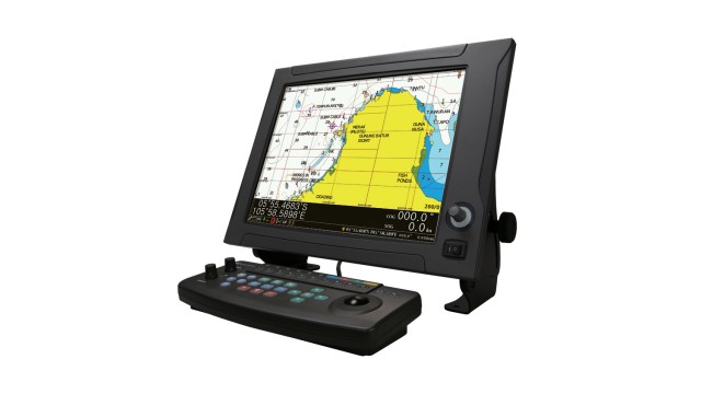
The newest NAVIONICS+ allow for incredibly detailed display of sea areas. The JLZ-1000 color plotter also has a high-speed display contributing to a stress-free navigation and chart updates to let you operate while using the latest data. The JLZ-1000 fully supports NAVIONICS+, one of the most accurate and thorough set of global nautical charts created for marine environment available today. All essential details are included, such as port plans, safety depth contours, marine services, tides & currents and navigation aids – showed without delay allowing for stress-free operation. Also Newpec charts, the new personal electronic chart made available by the Japan Hydrographic Association, are supported for Japan.
Documents
Des brochures
Manuels
Les questions
Si vous avez des questions concernant notre offre ProLine, d'autres produits ou les conditions générales de vente, n'hésitez pas à nous contacter.


